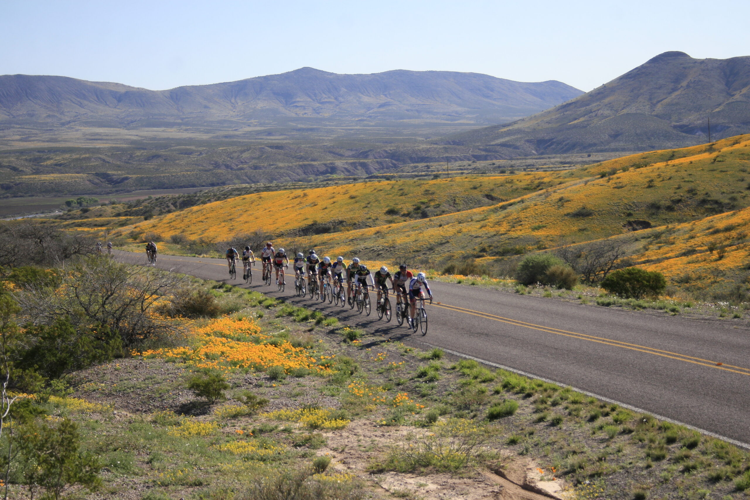
 Racers with Poppies by Norman Adams
The Duncan-Virden Loop
For Highway Vehicles
This 25-mile loop takes you through lush farmlands and up onto the mesa with a sweeping view of the Gila River Valley.
The Summit Peak-Bitter Creek Loop
A Rough, Unpaved Road with Spectacular Vistas
This loop includes about ten miles on Highway 75 and the rest of the miles are on unpaved county-maintained roads in Arizona and New Mexico. At either end the unpaved roads are in good condition but the far end of the loop, on the other side of Saddleback Mountain, is for rugged vehicles only. There are spectacular vistas and some challenging mountain bike miles on this route. You’ll also see the remnants of old gold and silver mine and, atop Saddleback Mountain, a working silver mine. Be careful around old mine shafts – it can be very difficult to get out if you fall in. In wet weather, do not cross a running wash unless you are certain your vehicle will clear it. Better to wait than be sorry.
Burma Road
A Well-Maintained, Unpaved Road
If the Gila River happens to be very low and you have the right vehicle, you can cross the river at the end of this route and come back into Duncan on Highway 75. But don’t count on it! From Duncan, Burma Road crosses two washes that empty into the Gila River. The second of the two is a good place to pull over and walk a mile or two. Hiking up the wash, to the west, is especially fun. You are likely to see a barn owl fly up out of its nesting cave as you enter the deep cutbanks). The road continues up onto a plateau that is littered with lava from an ancient eruption of Ash Peak. It descends again through picturesque range lands to the river.